
Suspected buried drums
A property transfer is stalled over rumors of buried drums. An EM and magnetic grid clears most of the lot and isolates two anomalies for test pits.
Characterization for site assessments and remediation.
Geophysics finds what is buried and where contamination is moving without digging blind. It guides monitoring well placement, confirms that tanks and drums are gone, and maps landfill boundaries and leachate plumes at a fraction of the cost of trenching.
Drone-enabled
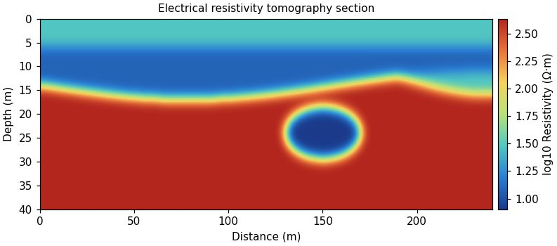
A property transfer is stalled over rumors of buried drums. An EM and magnetic grid clears most of the lot and isolates two anomalies for test pits.
A brine spill on rangeland is spreading. ERT and EM conductivity maps show the plume footprint and depth so remediation can target the affected soil.
Send a location and the question you need answered. We'll recommend a method and a budget range.
Send a location and the question you need answered. We'll recommend a method and a budget range.